Advanced Groundwater Resource Assessment & Management
Our groundwater modeling services provide water resource managers, government agencies, and environmental organizations with scientific tools to understand aquifer systems, predict groundwater behavior, and develop sustainable management strategies. We combine field data collection with cutting-edge modeling techniques to address water security challenges.
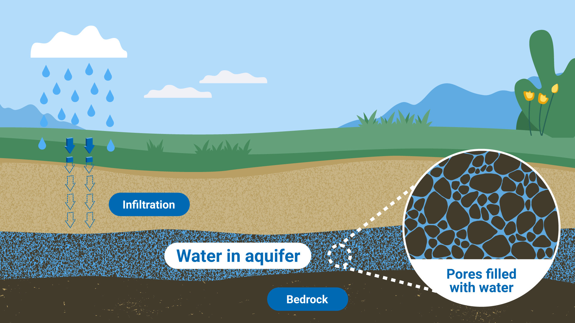
Aquifer Characterization
Detailed hydrogeological framework analysisPredictive Modeling
Scenario analysis for sustainable extractionModeling Capabilities
Conceptual Model Development
Integrating geological, geophysical, and hydrological data into 3D aquifer models
Numerical Simulation
MODFLOW, FEFLOW, and custom finite-element/ finite-difference models
Recharge Potential Mapping
GIS-based identification of optimal artificial recharge zones
Contaminant Transport Modeling
Predicting pollutant migration and designing mitigation strategies
Our Modeling Approach
Field Investigation
Well inventory, pumping tests, geophysical surveys, and water quality sampling
System Understanding
Developing 3D hydrostratigraphic models from borehole and geophysical data
Numerical Implementation
Grid development, parameter assignment, and boundary condition specification
Historical Matching
Adjusting parameters to match observed heads and fluxes within acceptable tolerances
Predictive Simulations
Evaluating impacts of climate change, extraction scenarios, and management options
Technical Specifications
Software Platforms
- MODFLOW 6 (USGS)
- FEFLOW (DHI)
- GMS (Aquaveo)
- OpenGeoSys
Data Requirements
- Well logs and pump test data
- Geological cross-sections
- Rainfall/recharge estimates
- Extraction records
- Water quality data
Model Outputs
- Water table/piezometric maps
- Capture zone delineations
- Safe yield calculations
- Time-series forecasts
Accuracy Standards
Models calibrated to achieve R² > 0.85 and RMSE < 5% of total head variation
Aquifer Assessment
Evaluate your groundwater resources with scientific modeling.
Request Feasibility Study