


What We Do — Our Geospatial & Digital Services

🌐 Web GIS
Web-based mapping portals for land records and asset tracking.
Click to learn more →
📱 Mobile GIS
Offline field apps for property surveys and data collection.
Click to learn more →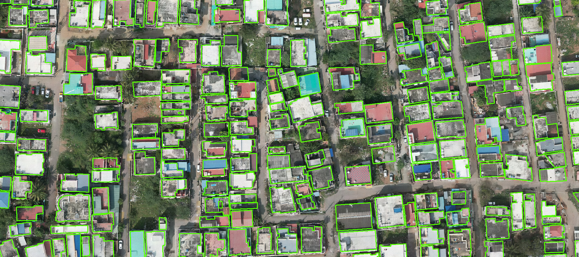
🏘️ Spatial Revenue Intelligence System
Digitize buildings and parcels from aerial imagery.
Click to learn more →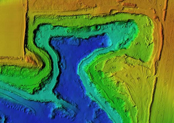
📡 LiDAR
High-precision 3D scanning for city models.
Click to learn more →
📸 Photogrammetry
Accurate maps from drone/tower imagery.
Click to learn more →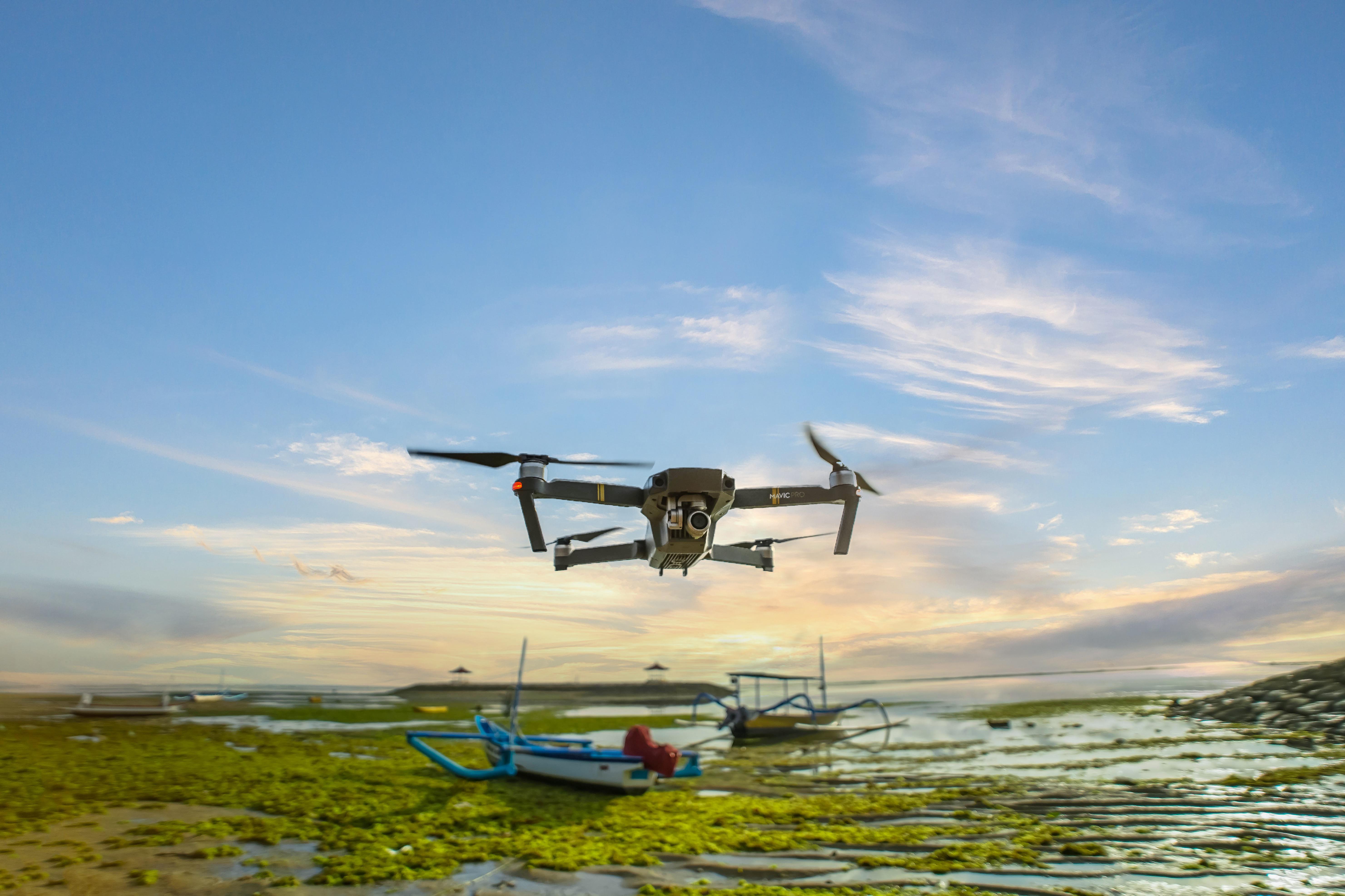
🛩️ Drone & DGPS Survey
Centimeter-level accuracy for property mapping.
Click to learn more →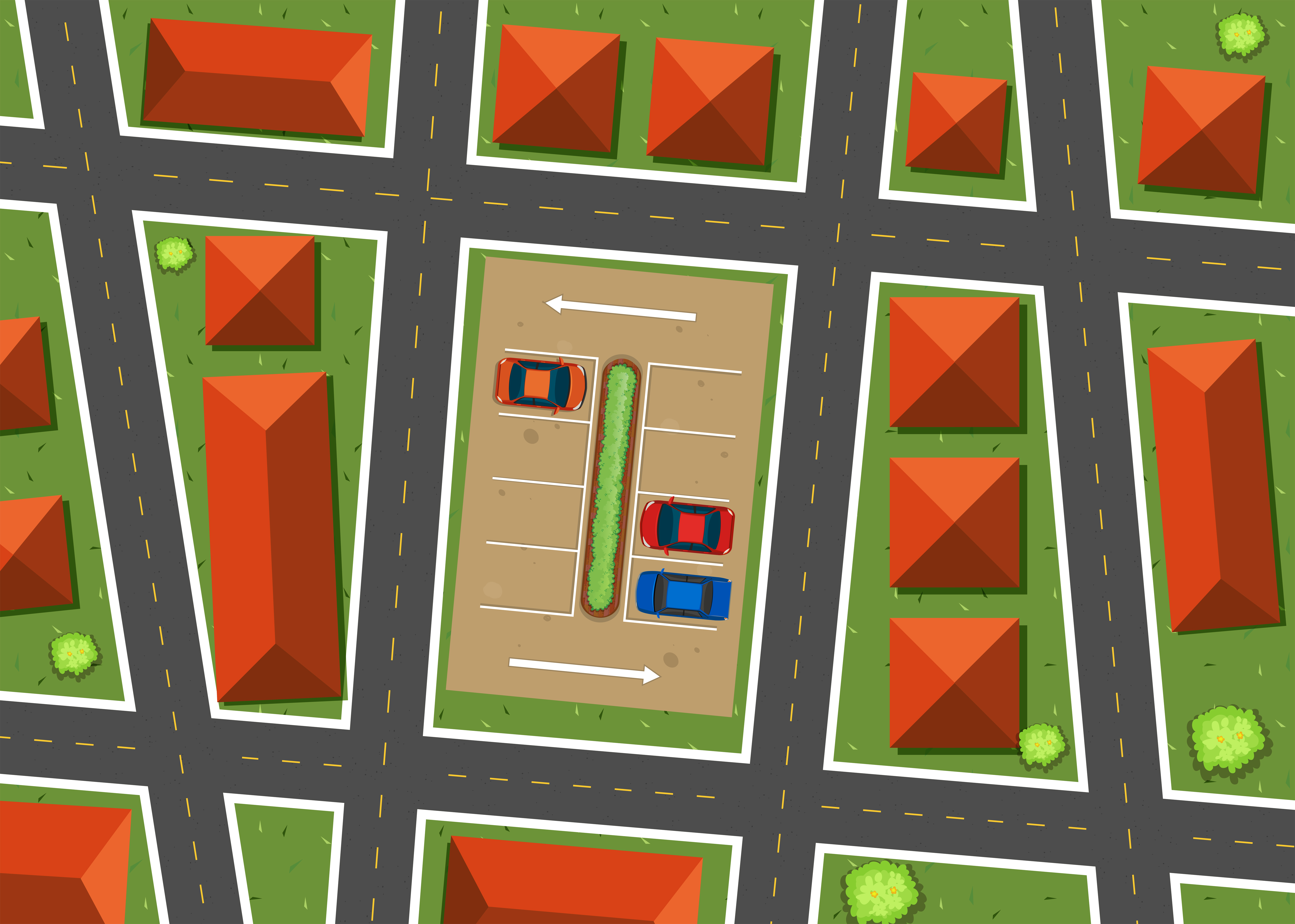
🗺️ 2D Mapping
Clear maps showing land use and boundaries.
Click to learn more →
📋 Consultancy Services
GIS strategy, workflow automation & training.
Click to learn more →
💻 Website Development
Modern responsive websites & portals.
Click to learn more →What Our Clients Say
“
SGT Solutions mapped urban property boundaries for Coimbatore
City Municipal Corporation using its Spatial Revenue Intelligence
System (SRIS). The technology identified unassessed commercial
structures and verified built-up area variations. This has enabled
optimized civic revenue collection and improved property tax tracking.
“
SGT Solutions completed extensive spatial mapping and water
quality analysis for the Institute for Water Studies, Chennai. Using geospatial
technology, they tracked water bodies and aquifer profiles, while lab-based indexing
measured critical chemical parameters and contamination trends. Their work provided
reliable datasets, significantly aiding research and water resource management
initiatives.
“
SGT Solutions has been a vital technical partner for the
Marutham Foundation. Their advanced GIS analysis and hydro-spatial mapping helped track
ecological degradation, siltation levels, and natural inlet channels across project
zones. Dr. Saravani and her team successfully bridged cutting-edge technology with
grassroots environmental restoration, optimizing rainwater harvesting catchments for
water body renovation initiatives.